
 Highest point
 Lowest point
 Sum of driveways
 Sum of downhill
 Slope
Slope Marking
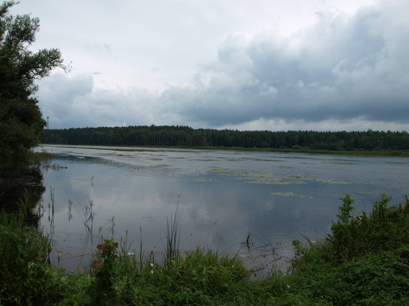
The purple trail in the Narol Municipality is one of six bike loops you can choose from in the area of this locality. This one is number 6 and was designed as a 16.5 km loop, using good-quality paved and dirt roads passing through the vast complex of the Solska Wilderness (Puszcza Solska) in the vicinity of the village of Ruda Różaniecka.
The general course of the trail is as follows: Ruda Różaniecka (0.0 km) - intersection in the forest, end of the asphalt road (4.6 km) - Huta Różaniecka (10.4 km) - Ruda Różaniecka (16.4 km)
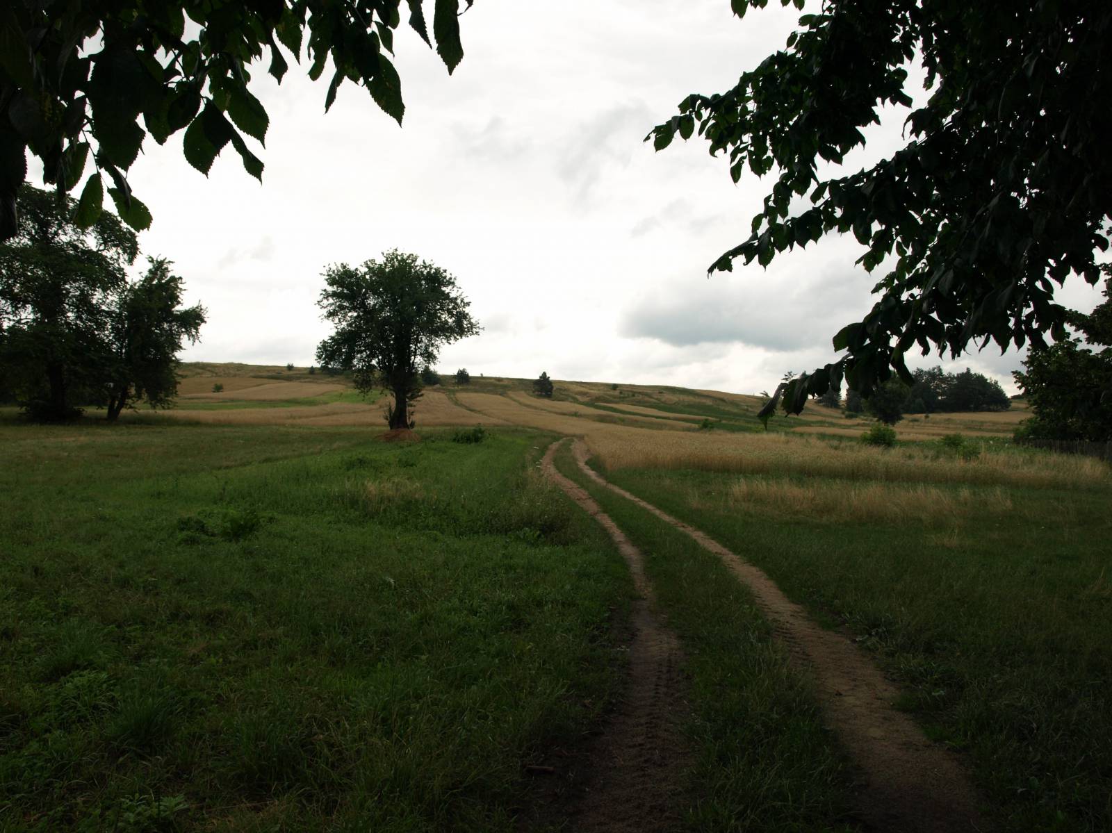
The trail is recreational in nature, while good surfaces and the lack of hills make it very easy to ride. Unfortunately, the marking is poor (unusual blaze colour – purple) and the recreational infrastructure modest. Considering the car traffic on the stretch between Huta Różaniecka and Ruda Różaniecka (6 km long), the route is not recommended for families with young children, whereas the remaining part of the trail is perfect for a family trip. The route begins in the village of Ruda Różaniecka, surrounded by a vast complex of fish ponds. In the past, this was the site of open-cast mining workings where iron ore was extracted and later smelted in small steel mills. That explains the name of the place; in Polish, “ruda” means “ore”. In the centre of the locality, there is an old manor house and a park. The trail leads deep into the forest and goes through it for the next 10 kilometres. The first part of the trip, using an asphalt road called “Droga Jagiełły” (“Jagiełło’s Road”), passes through an area that’s quite waterlogged. It is the habitat for many species of rare animals. These are, among others, the great forest predators, lynxes and wolves, whose tracks you may encounter on the trail. Past the intersection near the Łominos hill, the trail turns north, this time following a good-surface dirt road in the forest in the direction of Huta Różanecka. This part of the forest is relatively more dry and a little less wild. In the village of Ruda Różanecka you can see the ruins of an old Orthodox church. Once there was a glassworks here, hence the name (Pol. huta – glassworks). Nearby, you will find many old quarries. The trail continues on a paved road with low traffic, but you have to be quite vigilant and watch out for cars which move much faster than allowed. The road brings the cyclist back to the fish ponds, behind which there is Huta Różaniecka and the end of the trip.
Points of interest along the trail:
- Forests of the Solska Wilderness
- Ruda Różaniecka - fish ponds, manor house and park
- Orthodox church in Huta Różaniecka
The entire trail is suitable for bicycles with panniers/bike trailers. The trail uses (in its entirety or in part) roads with average traffic volume. There is at least one dangerous intersection (with no bicycle crossing or traffic lights); probably not recommended for families with children. Recreational character.
Starting point:
Ruda Różaniecka, centre of the village
Finishing point:
Ruda Różaniecka, centre of the village