
 Approximate driving time with sightseeing
 Highest point
 Lowest point
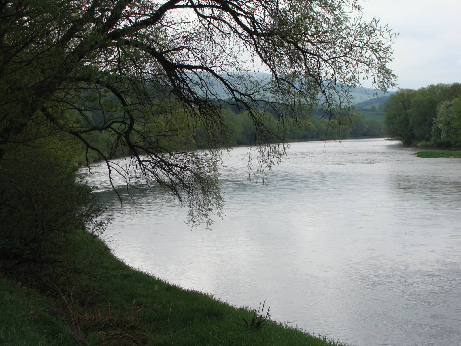
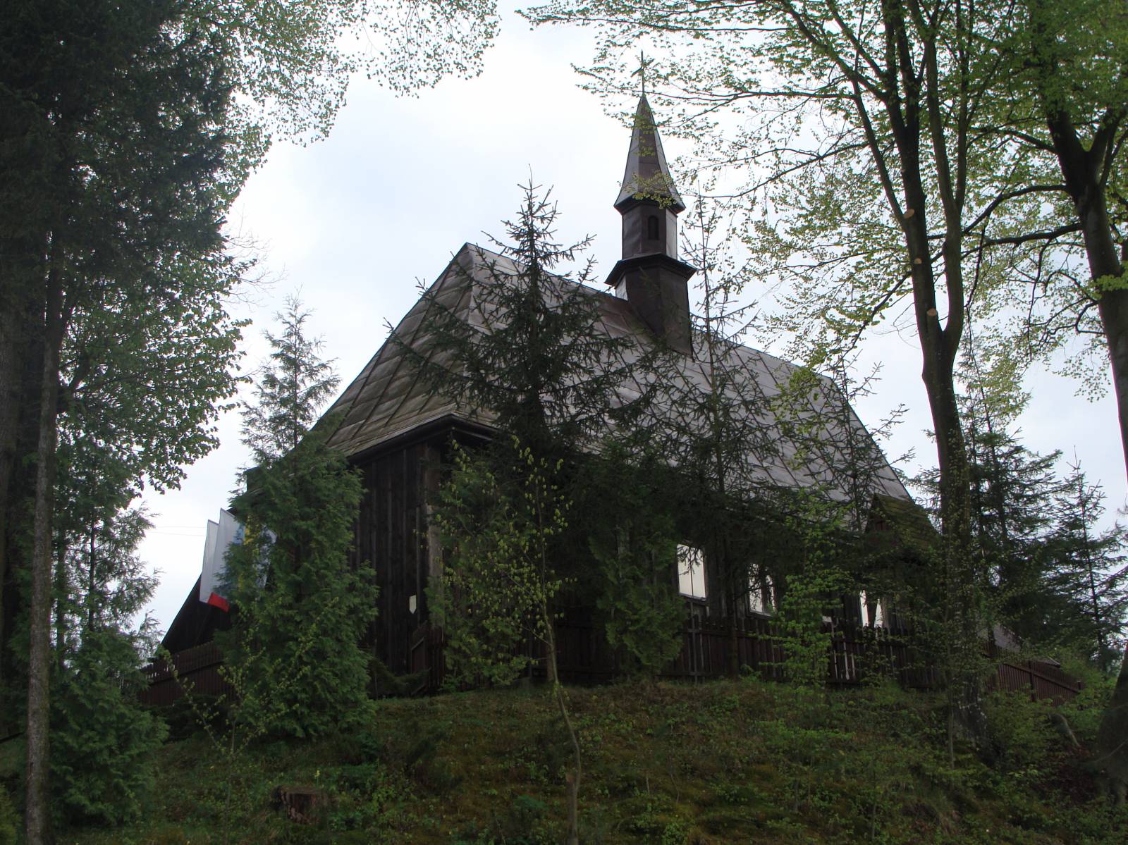
If you choose this trip, you will have an opportunity to see the most beautiful corners of the Dynów Foothills. The trail starts in Sanok – a city with a very interesting history. The main attractions on the trail include the Museum of Folk Architecture in Sanok, a burial mound and two fortified settlements in Trepcza, and the unique wooden building development of the 19th-century market square in Mrzygłód. The trail of the trip runs through the most beautiful corners of the Dynów Foothills. The trail begins at the parking area near the open-air Museum of Folk Architecture in Sanok. It is the first ethnographic museum in Poland with the biggest collection of items. It is worth visiting before you start your journey, with particular regard to the replica of the Galician market square. We also recommend the Historical Museum with a rich collection of icons and a gallery of works by Zdzisław Beksiński, which is situated in the former Royal Castle. From Sanok the trail leads farther in the valley of the San river through Trepcza – archaeology enthusiasts will find here a burial mound and two medieval fortified settlements – and then through Międzybrodzie to Mrzygłód. In this section, the trail overlaps with the trail “Fortifications on the San river.” In Mrzygłód, it is worth noticing the unique wooden building development of the market square existing since the 19th century. Located on the San river, this village is one of the places where time seems to stand still. In the next section from Mrzygłód to Końskie, there is one of the highest elevations on the trail. It takes much effort to reach its peak, but this is compensated by the magnificent view of the valley of the San river stretching out from the top. The cycling trail leads farther through Krzywe to Dydnia and from there on the road no. 835 to Niebocko. In the next village situated on the trail – Grabówka – there are ruins of the Orthodox Church of St. Nicholas; a few kilometres farther, in Falejówka, there is a historic manor complex. The last section of the trail, which is 11 km long, leads through Srogów and Trepcza to the area of the open-air museum in Sanok. Here you will find souvenir shops and food outlets situated on the bank of the San, with a view of the Sanok Old City and Parkowa Mountain. In the nearby harbour, it is possible to begin a raft down the San to Międzybrodzie.
Course of the trail:
- Sanok – 0 km
- Trepcza – 5 km
- Międzybrodzie – 6 km
- Mrzygłód – 13 km
- Końskie – 19 km
- Krzywe – 22 km
- Dydnia – 25 km
- Niebocko – 32 km
- Grabówka – 36 km
- Falejówka – 41 km
- Srogów Górny – 5 km
- Trepcza – 49 km
- Sanok – 51 km
Surface and marking of the trail:
The trail runs on county and communal asphalt roads with signposts, road signs and cycling trail marks beside them. In the first section running from the open-air museum in Sanok to Mrzygłód, the trail of the trip overlaps with the black cycling trail “Fortifications on the San river.” Information boards are placed beside main tourist attractions.
List of attractions on the trail:
- Burial mound in Trepcza
- Fortified settlements in Trepcza
- Museum of Folk Architecture in Sanok
- Historical Museum in Sanok
- Ruins of the Orthodox Church of St. Nicholas in Grabówka
- Market square in Mrzygłód
- Manor complex in Falejówka
Tourist Information Centre in Sanok, Rynek 14, 38-500 Sanok, phone 13 46 36 060, 13 46 44 533, e-mail: citsanok@um.sanok.pl