
 Highest point
 Lowest point
 Sum of driveways
 Sum of downhill
 High slope sections
 Slope
Slope Marking
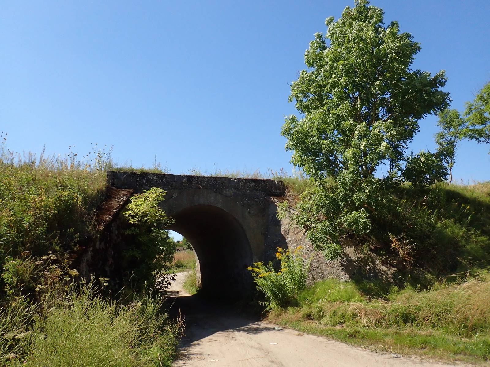
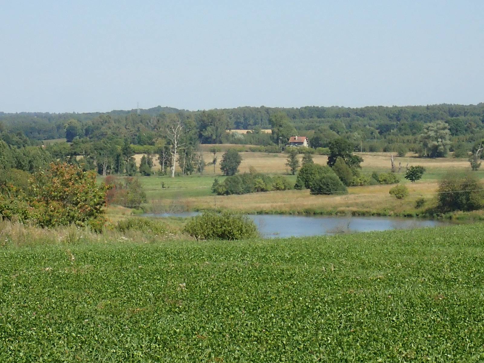
The yellow trail in the Bartoszyce Municipality is a 30-kilometer-long route, leading north from Bartoszyce. It runs through picturesque, hilly areas, with dirt and asphalt roads, with paved and sandy sections. The trail is practically without signposting and devoid of recreational infrastructure.
The general course of the trail is as follows: Dąbrówka, at the border with Bartoszyce (0.0 km) - Nalikajmy (2.8 km) – Basze (7.8 km) - Bezledy (13.6 km) - Solno, lake (17.6 km) - Bezledy (21.6 km) - Kiertyny Małe (24.3 km) - Nalikajmy (28.0 km) - Dąbrówka, at the border with Bartoszyce (30.9 km).
Including access to and from the centre of Bartoszyce, the route will be approximately 35 kilometres long.
The route starts in the northern part of Bartoszyce. It runs through several villages to the national road in the village of Bezledy, through fields and forests interchangeably. There is one major road border crossing at the Polish-Russian border nearby.
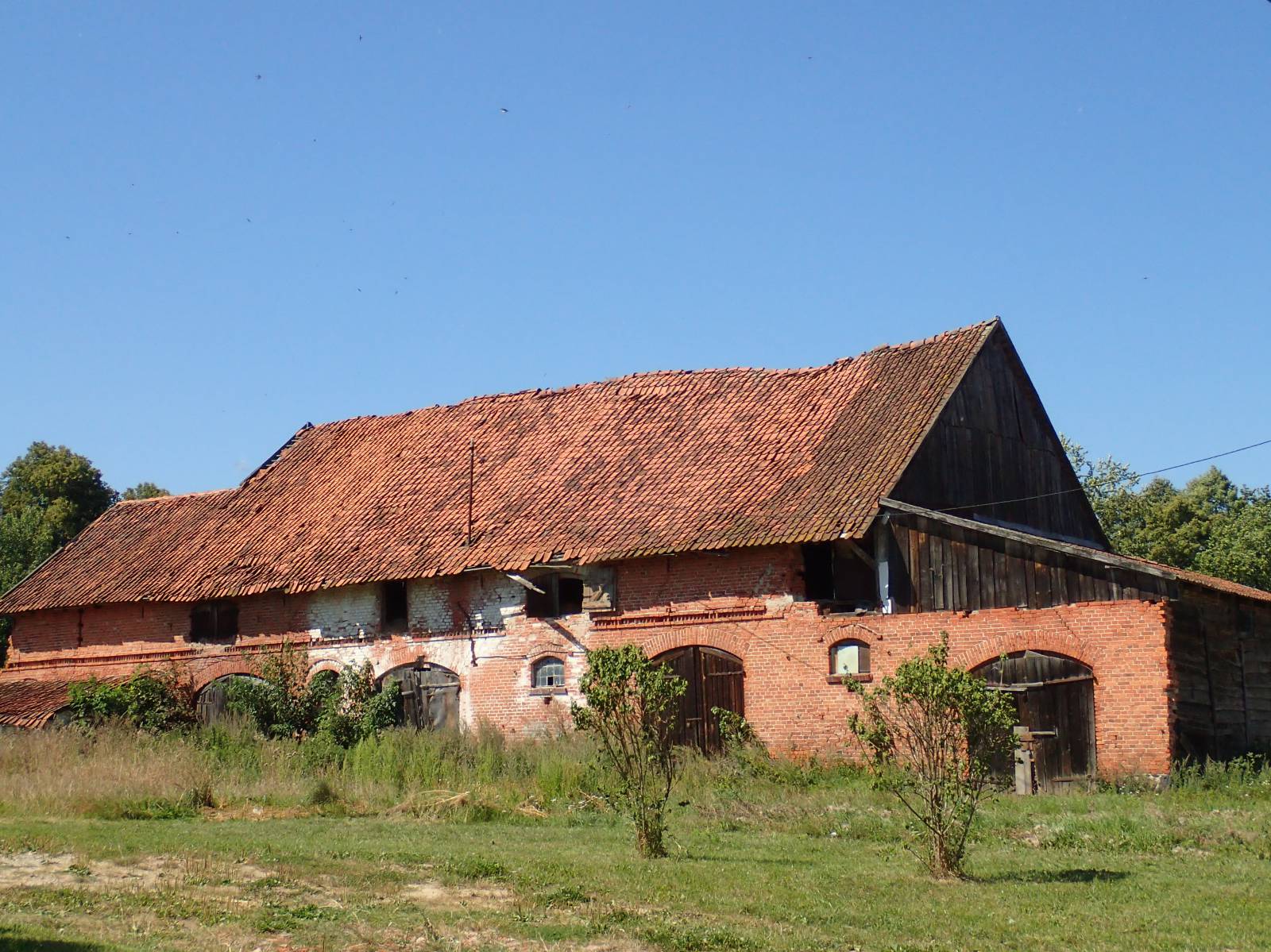
In villages along the route, numerous old red-brick houses have been preserved, covered with ceramic tiles, and with decorative cornices and friezes. Such design was characteristic for the whole area of East Prussia in the 19th and early 20th centuries. The buildings preserved to date create the characteristic cultural landscape of the Warmia village. Despite the destruction caused by the Red Army during the 1945 offensive and the subsequent long-term devastation of abandoned estates, the beauty of the old architecture has been rediscovered in recent years.
The route runs westwards for four kilometres towards Lake Solno after crossing the national road. Then the trail returns to the village of Bezledy and runs along the national road to the south. From there, it runs again through forests and fields to the village of Nalikajmy, from where it returns to the town of Bartoszyce.
It is worthwhile to take the opportunity of the bike trip on this trail and to see the town of Bartoszyce. It has a centuries-old history and tradition, combining Polish and German influences. It has almost always been a border city, first between the Warmia region and the State of the Teutonic Knights belonging to the Kingdom of Poland, and then to the Kingdom of Prussia. Since 1945, only a distance of a little over 10 km has separated the town from the border with the Kaliningrad Oblast of the Russian Federation.
The name of Bartoszyce probably originated from the Old Prussian tribe of Barts who lived in this area until 13th century. Around 1240, at the place of the former Prussian castle, the Teutonic Knights built a watchtower, which was later replaced with a brick castle, which has not survived to date. The town was located in the 14th century and soon it was surrounded with walls, and Bartoszyce gained importance after the Thirteen Years' War. At that time, it became one of the most populous cities, whose importance was cut short by the Second Peace of Torun, of the state of the Order of the Teutonic Knights. Trade with Poland developed, and the city gained the runner-up position, after Königsberg, in the Duchy of Prussia.
The town has a well-preserved, Medieval urban layout and numerous monuments. Unfortunately, the castle of Teutonic Knights has not survived, and destruction of buildings during the Second World War of the city reached approximately 50%. It is worthwhile seeing in particular the basilica, which is the St. John the Baptist Gothic church, and the Lidzbark Gate, which is a memento of the Medieval city fortifications. The Prussian stone statues, called "the Prussian old women", set at one of the roundabouts are even older. Bartoszyce is often visited by kayakers rowing down the Łyna river.
Points of interest along the trail:
- Bartoszyce - monuments, urban layout
- Landscapes on the trail (scenic views)
- Brick rural buildings along the trail, typical for this area
The entire trail is not suitable for bicycles with panniers/bike trailers. The trail runs fully or partially on the roads with medium traffic volume. There is at least one dangerous intersection (with no cycle crossing or traffic lights); probably not recommended for families with children. A recreational trail.
Starting point:
Dąbrowa, border with the city of Bartoszyce
Finishing point:
Dąbrowa, border with the city of Bartoszyce