
 Marking
 Slope
Slope Highest point
 Lowest point
 Sum of driveways
 Sum of downhill
 Connected with GreenVelo
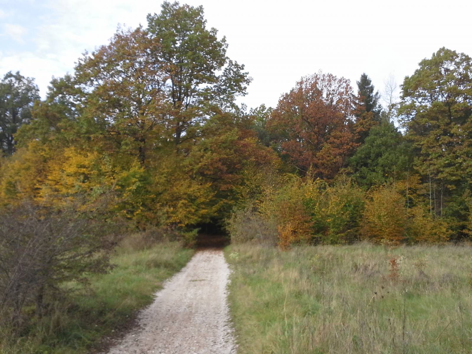
The Karczówki - Piekoszów Bike Trail is one of the cycling routes signposted in the city of Kielce, running from the city centre to suburban areas. It is signposted in red, and it is 18 kilometres long, running from the locality of Karczówki to the locality of Piekoszów. The trail runs mainly through the sparsely populated suburbs of Kielce, side, forest and field roads.
The route begins under Mount Karczówka. This mount, and the towers of the monastery and church located on the top of it, are a Kielce panorama landmark. This mountain rises to 339 meters above sea level and belongs to the Kadzielniański Range located in the city of Kielce, a part of the Świętokrzyskie Mountains. It is formed of limestone and covered with pine trees. On the slopes of the mountain, lead was mined and limestone was quarried. Here and there, there are still traces of mining activities which ran centuries ago. The Karczówka monastery was built in the early 17th century. Despite its defensive nature, it was plundered by the Swedish army during the Swedish invasion of Poland known as the Deluge, but the equipment was reconstructed and today the entire complex is of a historic character. The monastery is managed by the Pallottines, and it offers, among other things, hotel accommodation.
The trail starts on the road heading for the former Bernardine monastery. The historical centre of Kielce is located below, to the east, in the Silnica river valley. A botanical garden is currently being developed a little bit downstream. The trail circles the hill from the north. A black trail runs along the hill towards the south, at Białogon. Meanwhile, the red trail runs west to Pietraszki street. These are suburbs of Kielce, an area that is still partly agricultural, with sparsely built-up with single houses.
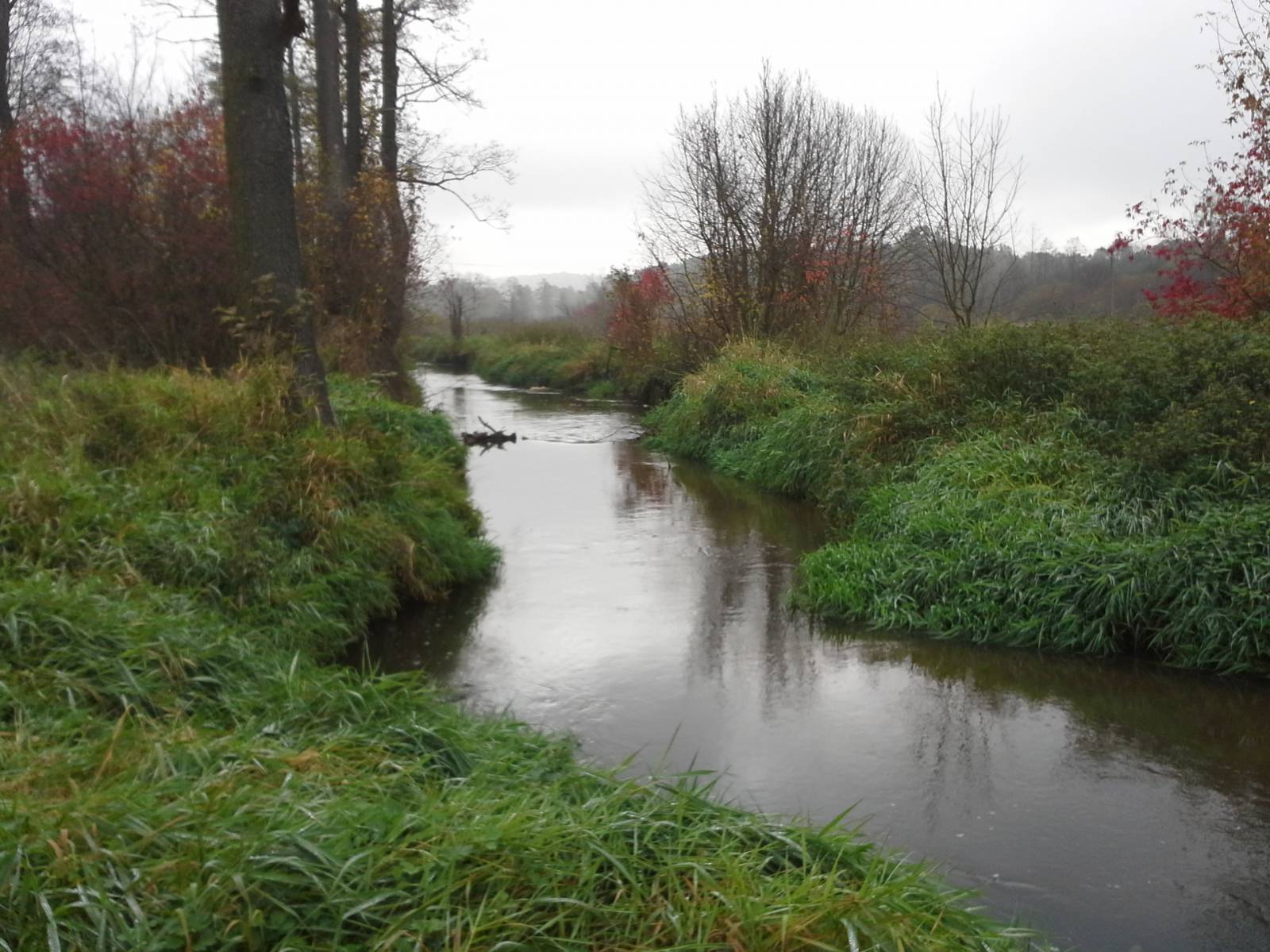
The route runs through forested hills and quite sandy areas. Numerous brooks cross the area. The trail goes to Pietraszki street, along which a green bike trail of the Green Velo trail was built. Both trails lead together towards the locality of Szczukowice. In front of this village, the red trail turns to the south, crossing the small Bobrza River near the Dobromyśl settlement.
Then the trail turns and runs along the railway line and passes under the S7 expressway, reaching the locality of Szczukowice. From here it turns south again, to the village of Jaworznia, and from there it reaches Piekoszów on dirt roads. Along the way, the trail runs across a hill, where the Chelosiowa Jama Nature Reserve is located. In the old limestone quarries, a stone which was once mined on this stope of this mountain, there is the longest cave in the Świętokrzyskie Mountains. Unfortunately, it is not open to the public.
The trail runs to the locality of Piekoszów, where you can see a Marian sanctuary, and to the neighboring village of Podzamcze Piekoszowskie, where you can see the ruins of the Tarłów palace. The route loops to its end at the foothills of Mount Moczydło. A rock reserve was created to protect the remains of mining tunnels. Lead ore and silver ore, called galena, were mined here from the 17th to 19th century.
Points of interest along the trail:
- Karczówka - monastery, vantage point
- Piekoszów - sanctuary
- Chelosiowa Jama - quarry, a nature reserve
- Moczydło - an inanimate nature reserve
- Views of the Kadzielnia and Chęcin Ranges of the Świętokrzyskie Mountains
Not all fragments of the trail are suitable for bicycles with panniers/bike trailers. The trail runs only on roads without road traffic or on local roads with a low and very low volume of road traffic; no dangerous intersections. A recreational trail.
Starting point:
Kielce, Podklasztorna street, the road running to the Karczówka Monastery
Finishing point:
Jaworzna, around the school on the road heading for Piekoszów