
 Highest point
 Lowest point
 Sum of driveways
 Sum of downhill
 High slope sections
 Connected with GreenVelo
 Slope
Slope Marking
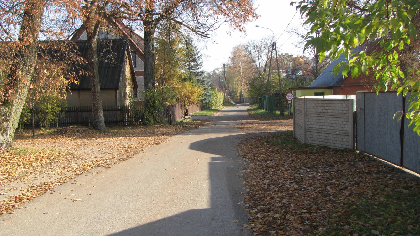
The Suwałki - Stary Folwark Yellow Trail connects the capital of the Suwałki region with the Wigry National Park. It is 11 kilometres long and is an alternative to a bike trip using the Green Velo route, allowing you to see the Wigry region dead-ice lakes in surrounding forests as well as nature exhibitions in the villages of Krzywe and Stary Folwark.
The general course of the trail is as follows: Suwałki, Green Velo trail (0.0 km) - exit from the Green Velo route (2.2 km) - "Dead-Ice Lakes" educational trail (3.5 km) - Krzywe, nature exhibition (3.9 km) – a parking lot at the provincial road and the Green Velo route (8.2 km) – the village of Stary Folwark, the Wigry Museum (10.3 km) – the village of Stary Folwark, beach (10.8 km).
The route is picturesque and well-signposted. The trail starts at the border of the city of Suwałki, running along with the Green Velo route on the provincial road no. 653. After about 2 kilometres turns north towards Lake Krzywe, where the beach is located. From there, along dirt roads, it runs to the nature path to the mid-forest "ponds" in a nearby forest. In the national park there are five charming melancholic lakes, known more precisely as dead-ice lakes. The name is given to small, mid-forest lakes surrounded by peat bogs, which have dark brown water, highly acidified by decaying vegetation remains. On the route there are wooden footbridges through peat bogs, umbrella roof and a vantage point that is an excellent place for observation of waterfowl and beavers.
In the nearby village of Krzywe, the Wigry National Park headquarters, established in 1989, are located. It is also home to a tourist information desk and a natural exhibition presenting the flora and fauna of the National Park. Near the headquarters, in the former forest district building, there is a small ethnographic exhibition. There are also three educational paths.
From here, the trail runs through forests and fields, in quite hilly terrain, towards Lake Wigry. As "Wingry" the lake was mentioned for the first time by Jan Długosz, chronicler, describing hunting expeditions of the Polish king Ladislaus Jagiełło. It has an irregular shape, an area of over 21 km2, and at places its depth exceeds 70 m. In terms of surface and in terms of depth, it is the tenth largest and the fifth deepest lake in Poland. The distinguishing feature of Wigry is the extremely fragmented coastline and many smaller lakes lying in the immediate vicinity of the main reservoir. Its charm is enhanced by its picturesque location among moraine hills, and the banks are mostly overgrown with pine trees of the Augustów Primeval Forest. The lake and its surroundings have been protected since 1989 as a national park.
The route runs towards the village of Stary Folwark situated right by the lake. It houses the Wigry Museum, and from the lakeside there is a beautiful view of the post-Camaldolese monastery in the locality of Wigry. The trail ends here.
Points of interest along the trail:
- Suwałki - religious monuments, museums, architecture
- Lake Krzywe - beach
- "Dead-ice lakes" - educational trail about kettle lakes
- The village of Krzywe - nature exhibition, educational paths
- The village of Stary Folwark – the Wigry Museum, beach, view of Lake Wigry and the monastery in Wigry
- Wigry National Park
Not all fragments of the trail are suitable for bicycles with panniers/bike trailers. The trail uses solely roads with no motor vehicle traffic allowed or local roads with a low and very low vehicle traffic, without dangerous intersections. Trail with outstanding natural beauty. Trail offering outstanding vistas.
Starting point:
Suwałki, the intersection of Sejneńska and Piaskowa streets
Finishing point:
The village of Stary Folwark, the base of the Polish Tourism and Sightseeing Society (PTTK).