
 Highest point
 Lowest point
 Sum of driveways
 Sum of downhill
 Connected with GreenVelo
 Slope
Slope Marking
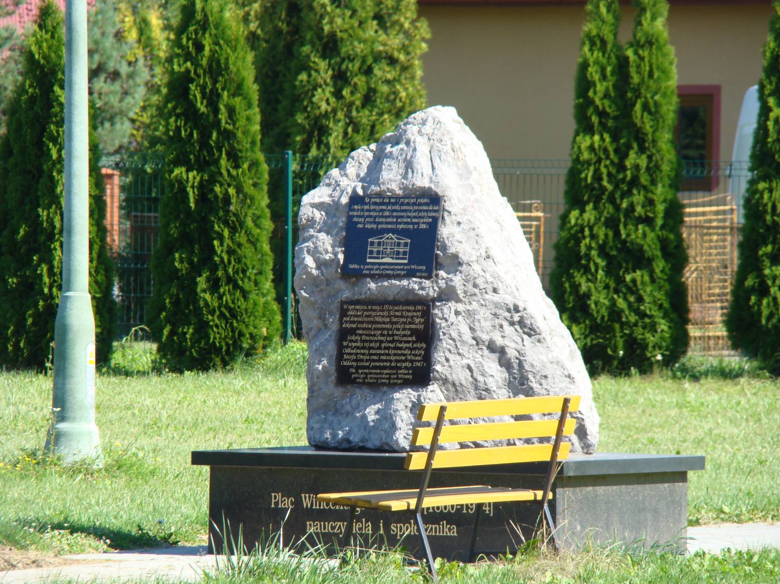
The blue bike trail of Stalowa Wola County is a long trail, which is 76 kilometres long. It runs from the village of Wrzawy in the Vistula River valley near the city of Sandomierz, through the industrial city of Stalowa Wola and vast forests of the Sandomierz Forest, to the locality of Nisko, located in the San River valley. Good asphalt pavements and the lack of large hills make it an easy, though quite long, recreational trail. The route is quite monotonous and requires a map or GPS track, because of the heavily damaged signposting.
The general course of the trail is as follows: Wrzawy (0.0 km) - Skowierzyn, Stary San (7.3 km) - Zbydniów (12.1 km) - Stalowa Wola, near the railway station (24.5 km) - Ruda (38.8 km) - Bojanów (51.2 km) – Nisko (75.3 km).
The trail is a half of a loop of around 160-170 km, running around the Stalowa Wola County. The second part of the loop (signposted in green) is 86 kilometres long and runs on the other bank of the San River, from the village of Wrzawy through the villages of Zaklików and Lasy Janowskie, and then from the villages of Kłyżów and Pysznica to the city of Stalowa Wola. It is possible to return using the loop to the locality of Nisko cycling on national road no. 77 or skipping the section to Pysznica, through Zarzecze, along the Green Velo trail. Such a bike trip, including sightseeing, will take two days of cycling.
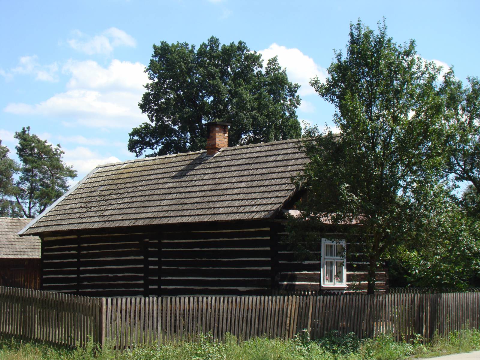
The trail starts in the village of Wrzawy, located among the oxbow lakes of the Vistula River in the fork of Vistula and San Rivers. It was formerly one of the strategic sites for trading activities on the Vistula River. The possession of such sites gave control over merchandise transported by river from the south of Poland. For this reason, the city of Sandomierz was founded on the nearby hills, and it quickly became rich through the proceeds of the trade on the Vistula River. Numerous old houses and wooden outbuildings survive to date in this area. Interesting information can be found on information boards, presenting the history and heritage of this area.
The route along local asphalt roads and field paths runs to the locality of Skowierzyn, where the Green Velo trail is found. Until 1683, the San River flowed near the nearby village of Zaleszany. Its former river bed forms the so-called "Old San River" - a stream of old river beds – longitudinal water reservoirs visible on the riverside plain. There you can observe a large number of natural curiosities, such as floating ferns, or insectivorous round-leaf sundew. The representatives of the fauna include, among others otter, beaver and many bird species. Moving around the terrain is facilitated by the nature trail "Old San River - Three Lakes Trail".
From here, the route slowly moves away from the San River, running along the edge of the Sandomierz Forest, to the locality of Zabierzów, now a part of the city of Stalowa Wola. It is the third largest city in the Podkarpackie Voivodeship. It was created as a green field project, as a part of the Central Industrial District built since 1937. The city has a modernist utility architecture, and in its northern part, in the former village of Rozwadów, the Baroque Capuchin monastery complex has survived. In the centre of the city there is a wooden church dating back to 1803 and a monumental basilica dedicated to the Virgin Mary, the Queen of Poland. On one of the city squares a huge hussar monument, called the Patriot Memorial, was erected.
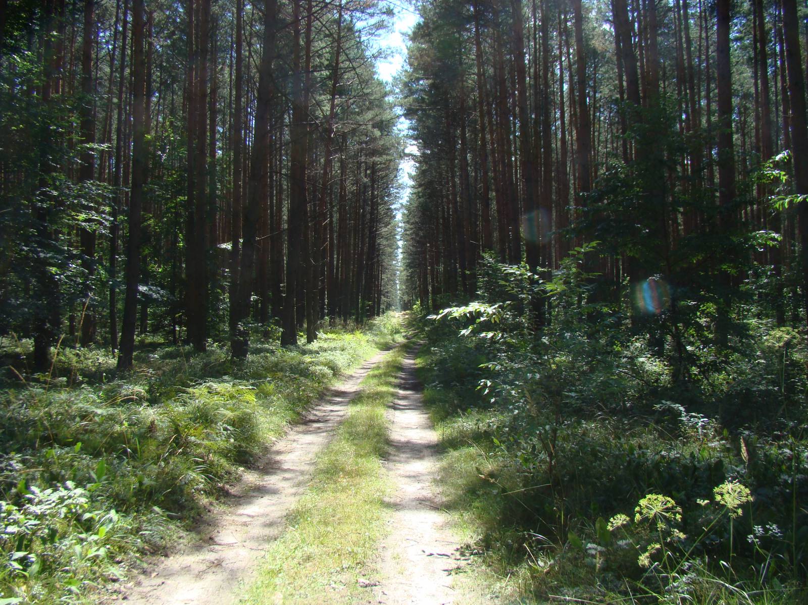
The trail runs along the railway tracks, bypassing the centre of the city of Stalowa Wola. Further down this city, the route changes its nature, intersecting pine forests representing a remnant of the former Sandomierz Forest. In the village of Bojanów, where a manor house and a park survived, the trail turns and returns to the San River valley, again running through the woods of the Sandomierz Forest. The route ends in the town of Nisko, located near Stalowa Wola, by national road no. 77. Practically the whole section of the route from Stalowa Wola to Nisko, skipping a piece running through fields between the localities of Bojanów and Ruda, runs through forests, mainly on asphalt roads with good pavement.
Points of interest along the trail:
- The Vistula River valley at the mouth of the San River flowing into it - oxbow lakes
- The Sandomierz Forest
- Stalowa Wola - monuments, modernist buildings
- Bojanów - manor house and park
The entire trail is not suitable for bicycles with panniers/bike trailers. The trail runs only on roads without road traffic or on local roads with a low and very low volume of road traffic; no dangerous intersections. A recreational trail.
Starting point:
Wrzawy, in the cemetery area
Finishing point:
Nisko, city park