
 Highest point
 Lowest point
 Sum of driveways
 Sum of downhill
 High slope sections
 Slope
Slope Marking
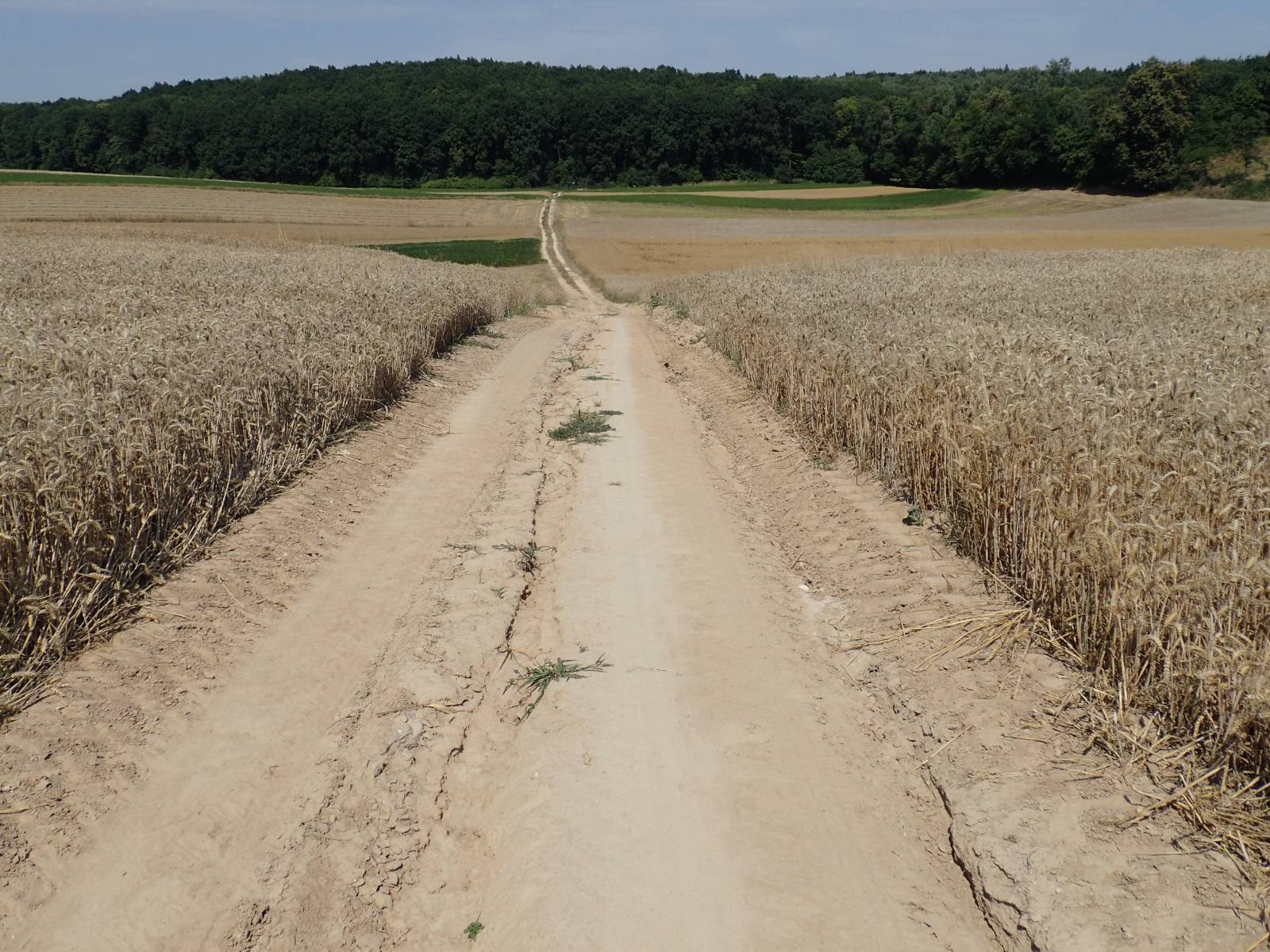
As indicated by its name, the Skierbieszów Bike Trail offers cycling through the picturesque, hilly areas of Skierbieszów. It starts and ends in this historic locality, formerly one of the residences of the Chełm bishops. There was also a castle here, however, it has not survived to date. However, you can see a Renaissance church with a beautiful, Baroque interior.
The general course of the trail is as follows: Skierbieszów (0.0 km) - Kalinówka (5.7 km) - Sulmice (8.1 km) - Zawoda (13.7 km) - Osiczyna (20.2 km) - Hajowniki (24.4 km) - Iłowiec (27.8 km) - Sławęcin (35.0 km) - Łaziska (37.1 km) - Iłowiec (40.0 km) - Skierbieszów (44.2 km).
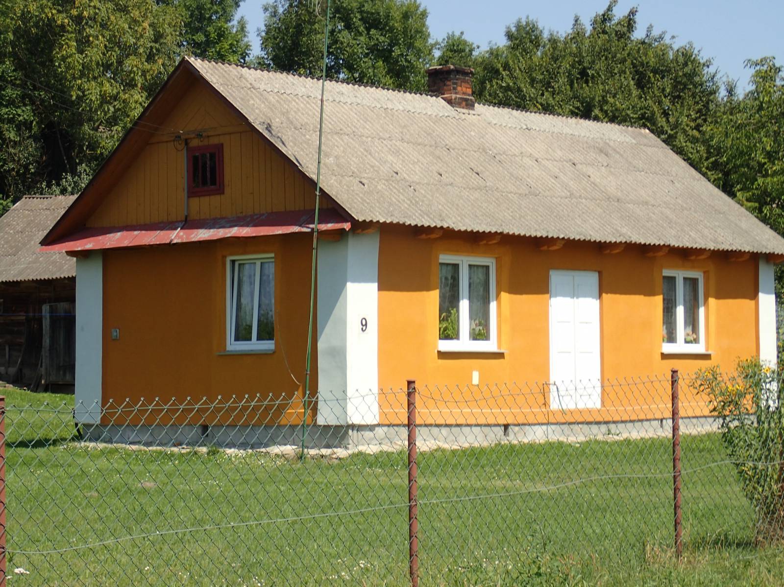
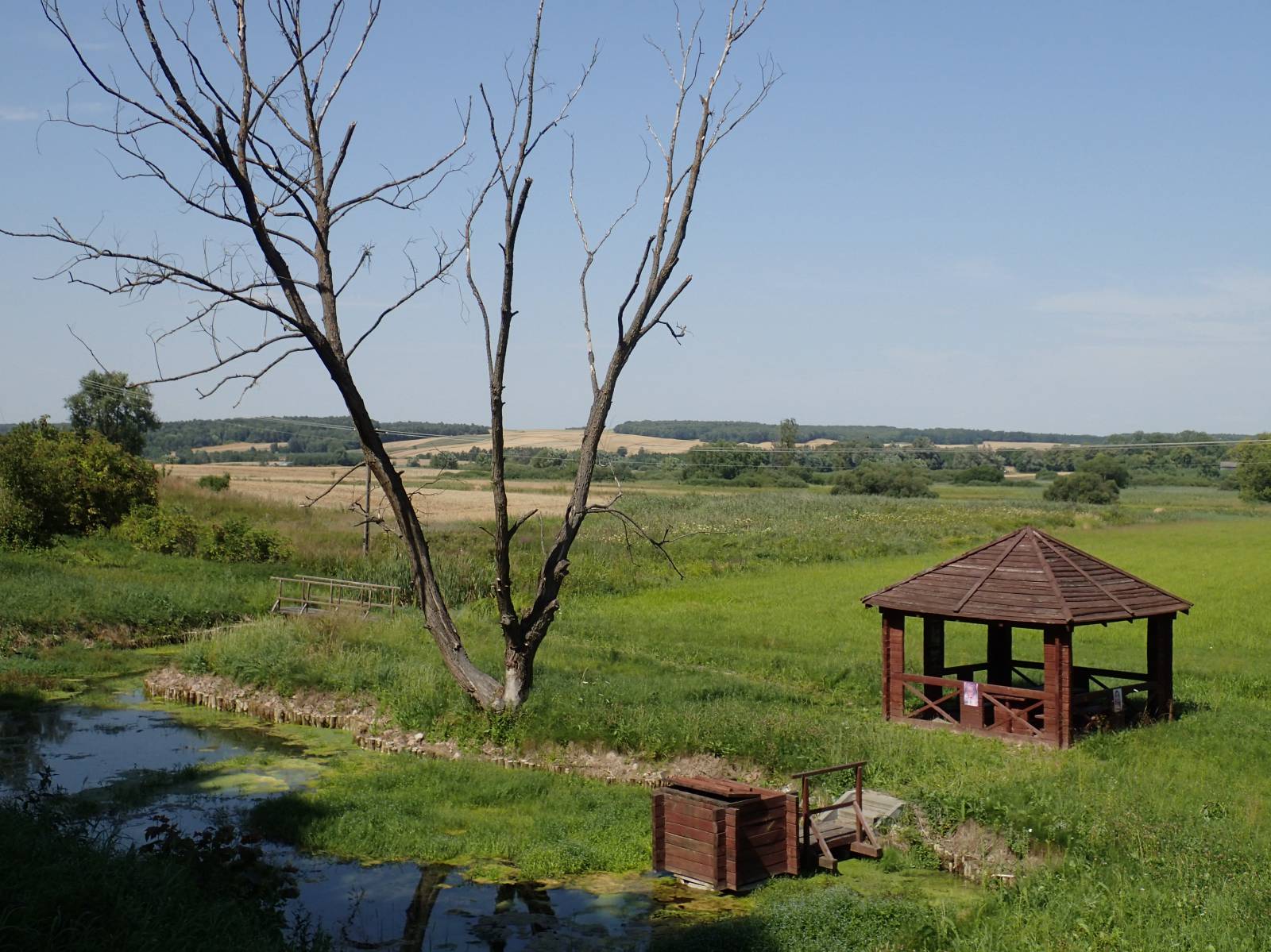
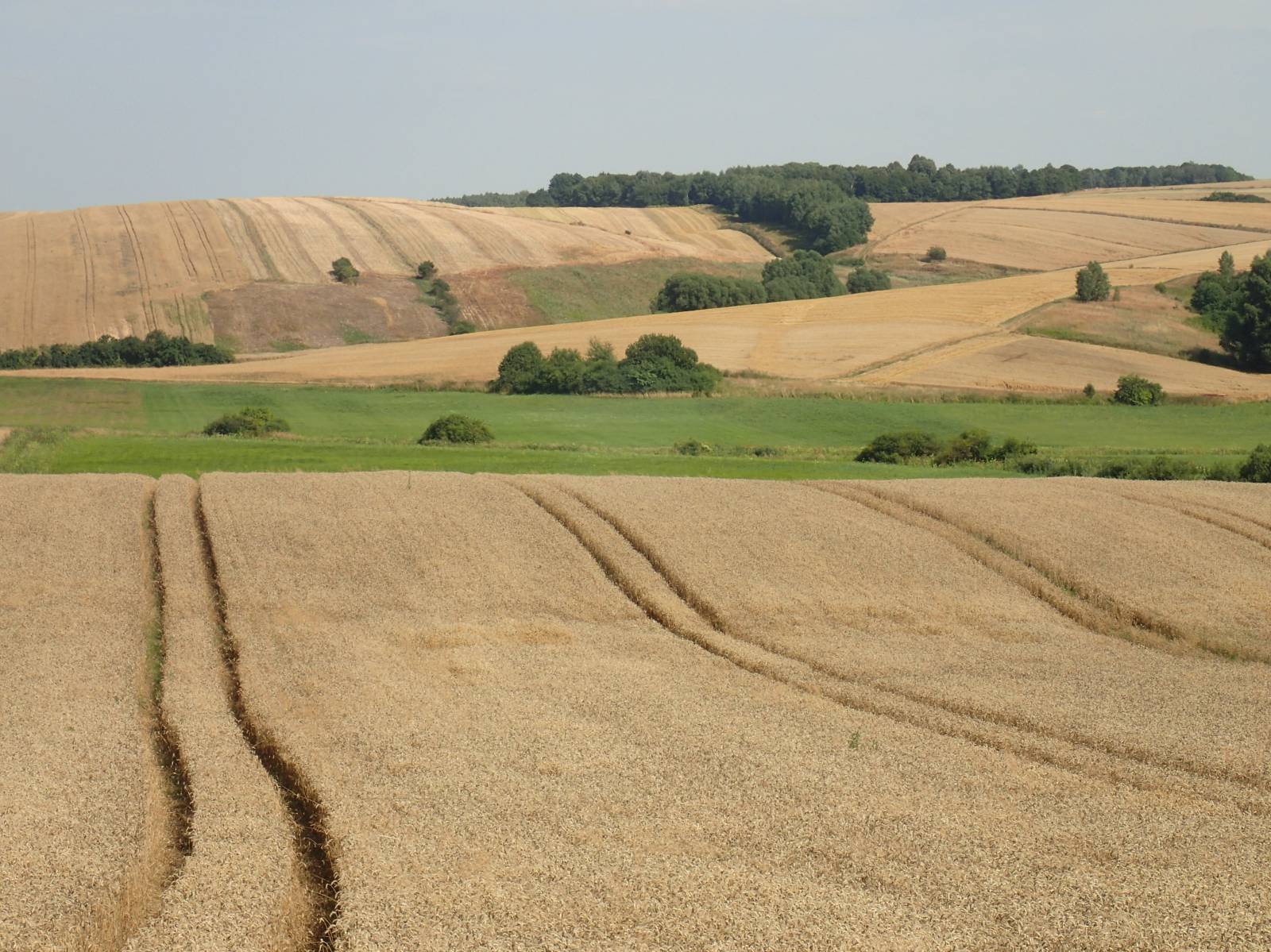
The route was marked out using roads and off-roads of the Skierbieszów Landscape Park. It is an extremely picturesque area, full of beautiful views and extensive panoramas stretching from the tops of low hills. Along the route you will encounter numerous old, wooden huts, loess ravines and chalk hills, overgrown with steppe vegetation. While traveling along this route, you will encounter charming loess ravines and small brooks meandering among the golden fields. It is the views and nature that are the main assets of this route. Two rest areas specially arranged in scenic spots await cyclists. The whole route is almost 45 km long, but its signposting is obsolete, and some sections are practically impassable by bike. Nearly 30 km of the route was marked out on local asphalt roads, but about 5 km of the route runs through trails with thick bushes, where you frequently have to walk with your bicycle. This is not exactly suitable for MTB lovers, nor for a family trip. The track often climbs the hills specific to this area. For this reason, the route requires being in good shape; to cover the route you need an MTB, and you need a map for navigation.
Points of interest along the trail:
- Skierbieszów - religious monuments, urban layout
- A large number of old, wooden huts in the villages along the route
- Local religious monuments - shrines, chapels
- Landscape qualities - panoramas of the Skierbieszów Landscape Park hills
- Loess ravines, loess and chalk slopes (xerothermic vegetation sites)
Not all fragments of the trail are suitable for bicycles with panniers/bicycle trailers. The trail uses solely roads with no motor vehicle traffic or local roads with a low and very low vehicle traffic; no dangerous intersections. Trail offering outstanding vistas.
Starting point:
Skierbieszów, the Municipality Office building
Finishing point:
Skierbieszów, the Municipality Office building