
 Highest point
 Lowest point
 Sum of driveways
 Sum of downhill
 High slope sections
 Slope
Slope Marking
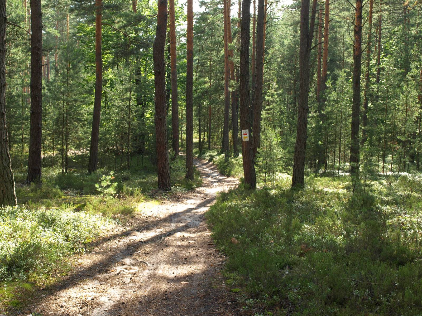
The Biała Łada Bike Trail is a fairly short, picturesque and well-signposted bicycle trail, which is 33 km long. It forms a loop through the pine forests surrounding the city of Biłgoraj. The advantage of this route includes picturesque and diverse areas through which it runs. For the most part, it is a compact, forest complex, growing on a large part of the Biłgoraj Plain.
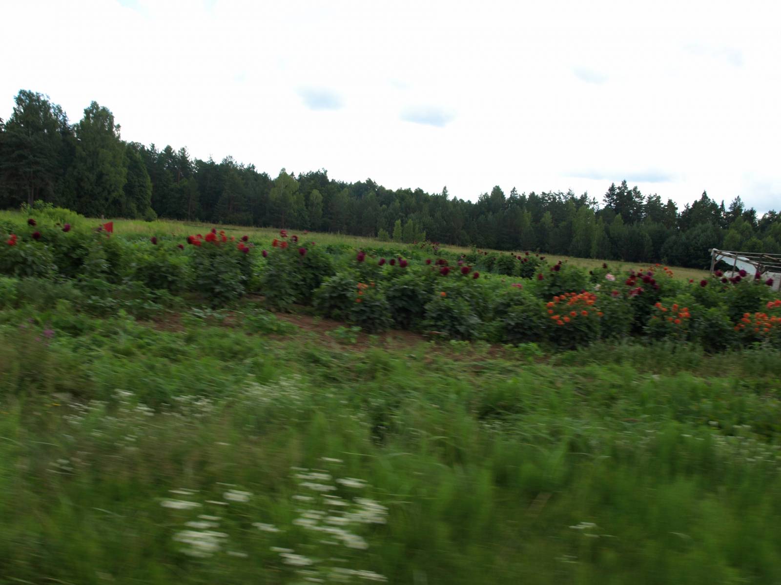
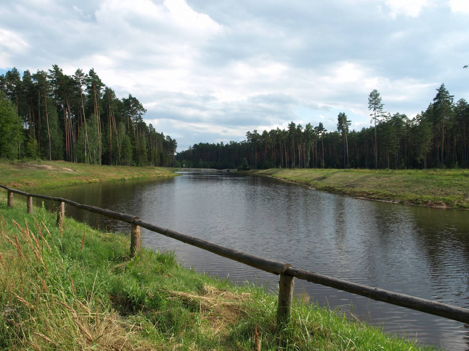
There are not too many monuments and interesting places on the trail, but it allows for contact with nature. At the same time, the varied nature of forests, interlayered with meadows and the riverside section offer attractive landscapes and great variety. Consequently, the trail is not boring, and the views along the way change frequently. Almost 12 km of the route from Biłgoraj to the village of Karolówka, runs along the small Biała Łada river that gives its name to the trail. There are also numerous brooks, whose valleys cross the route, sometimes requiring small crossings, which also make the trip more attractive. Thanks to this, the second part of the trip will be easier since it will involve going downhill.
The general course of the trail is as follows: Biłgoraj (0.0 km) - Majdan Gromadzki (5.3 km) - Niemirów (10.8 km) - Ignatówka (20.8 km) - Biłgoraj (33.0 km).
About 70% of the route runs on good asphalt roads, however, there are very sandy sections in the forest (a total of about 5 km). The dirt road sections are located between the localities of Nadrzecze and Niemirów in the Łada river valley, in the northern part of the route past the village of Karolówka and the longest section from the Ignatówka - Dyle road to the mid-forest clearing halfway to the city of Biłgoraj. On the route, mountain and trekking bikes are recommended. An excellent trail for a short bicycle tour. The dirt road sections may cause some difficulties for less experienced cyclists and users of bicycle trailers. It is also worthwhile taking food and water with you, because there are not many shops on the trail. Regardless of the direction of travel chosen by the cyclist, the first part of the trail will run uphill. This is because the area rises here northwards, and Biłgoraj is at the lowest point of the total route. Fortunately, most of the route is devoid of major ascents and descents, especially in the part running along rivers and brooks.
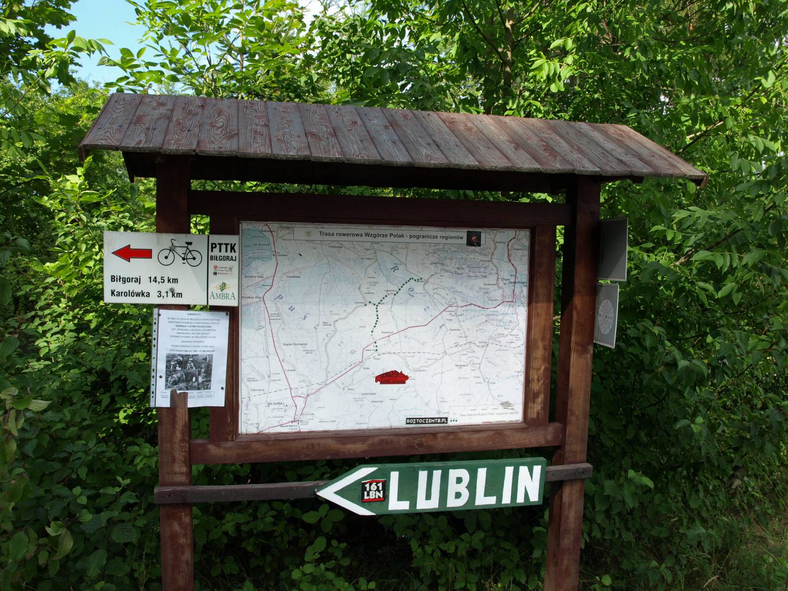
In the city of Biłgoraj, the route crosses the Green Velo trail at two places. Nearby there are also several other bike trails that run to other interesting destinations in the area.
Points of interest along the trail:
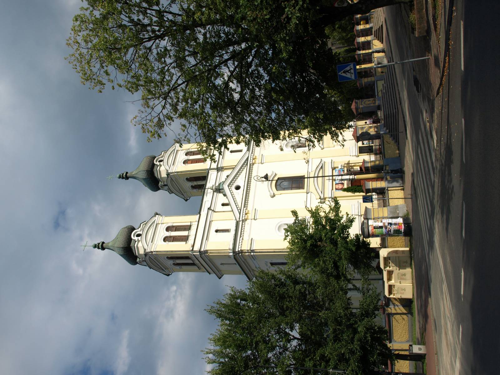
- Biłgoraj - religious monuments, a town in the Eastern Borderlands of Poland
- The Biłgoraj Forests
- Biała Łada river valley
Not all fragments of the trail are suitable for bicycles with panniers/bike trailers. The trail uses solely roads with no motor vehicle traffic allowed or local roads with a low and very low vehicle traffic; no dangerous intersections. A trail for lovers of mountain biking and off-road cycling. A recreational trail.
Starting point:
Biłgoraj, Plac Wolności Square
Finishing point:
Biłgoraj, Plac Wolności Square